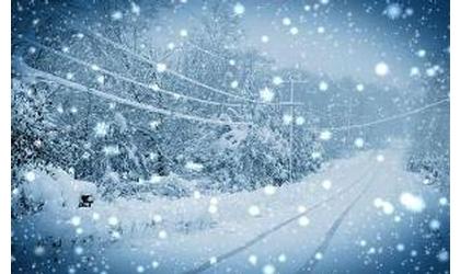
A Winter Storm Warning is in effect for much of northern Kansas beginning Friday night and continuing through Saturday night where the highest snow accumulations are expected. A winter weather advisory has been issued for much of central and southern Kansas including Hutchinson and Wichita beginning Saturday and ending Sunday afternoon.
Rain will likely move into northwest Kansas late tonight and quickly change over to snow through the overnight hours. This weather system will move into the southwest portion of the state before tracking across central and southern Kansas through the day on Saturday.
Snow will be likely across western Kansas Friday night into Saturday night. North central Kansas will see all snow starting early Saturday morning and continuing through Sunday. South central and eastern Kansas can expect a rain/snow mix through much of the day on Saturday, changing completely over to snow by Saturday night. Accumulations of 8-14” will be possible for extreme northwest Kansas. Scott City to Oakley to Norton to Beloit and Russell can expect 5-8" of snow by Sunday morning. Syracuse to Elkhart to Liberal to Dodge City to Hutchinson and Salina can expect 2-6" of snow. Wichita and points further southeast can expect a trace-4 inches of snow total
Wind will also be a factor with this storm system. Wind gusts in excess of 25 mph will cause blowing and drifting of snow especially in the west. Please use extreme caution when traveling over the weekend.